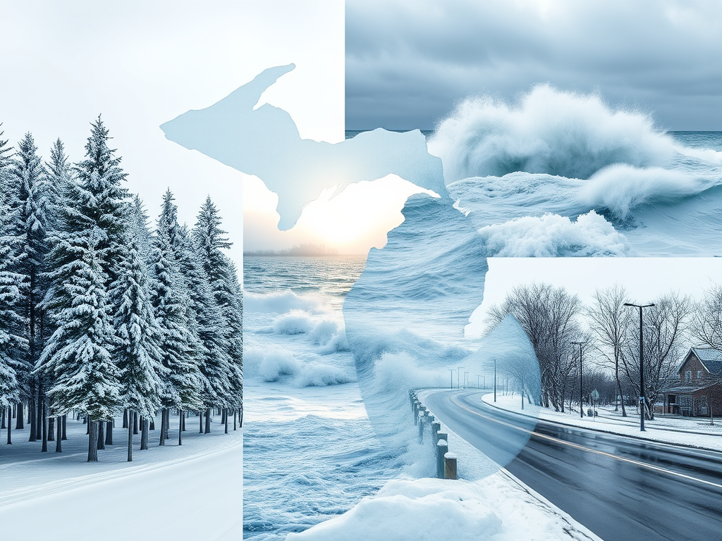
Today, the state faces a Michigan winter storm with a mix of freezing rain and snow today, leading to hazardous travel conditions statewide.
Winter Storm Brings Hazardous Conditions Statewide
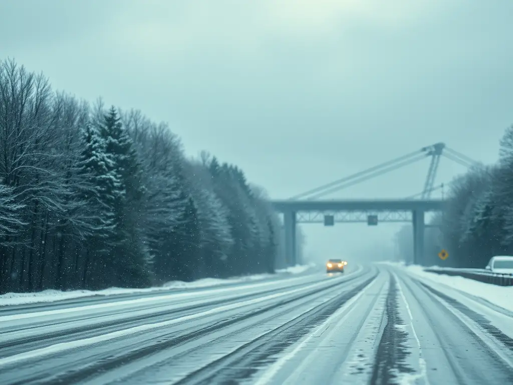
A winter storm is sweeping across Michigan today, bringing a combination of freezing rain and snow to various regions. Residents are advised to exercise caution during their morning commutes due to slippery roads and reduced visibility.
Southeast Michigan: Freezing Rain and Slick Roads
Detroit — Issued by the National Weather Service at 4:57 AM EST on February 6, 2025.

Southeast Michigan is experiencing freezing rain this morning, with temperatures around 29°F (-2°C). The freezing rain is expected to transition to freezing drizzle by daybreak, with additional ice accumulations of a few hundredths of an inch possible. Temperatures are expected to rise above freezing around mid-day.
A Winter Weather Advisory remains in effect through 9 AM EST as a mix of snow, sleet, and freezing rain continues to impact the region. Accumulations include up to half an inch of snow and sleet, with a light glaze of ice expected on roadways, bridges, and overpasses.
- Morning conditions: Freezing rain is transitioning into freezing drizzle, making roads treacherous for the morning commute. Drivers should expect slick and hazardous conditions.
- Temperatures: Mid 20s this morning, rising to the freezing mark by early afternoon.
- Looking ahead: A strong low-pressure system is forecast to bring another round of snow and possible ice accumulation Saturday night into Sunday, potentially leading to additional travel disruptions.
Southwest Michigan: Wintry Mix and Gusty Winds
Grand Rapids — Issued by the National Weather Service at 9:55 PM EST on February 5, 2025.
Southwest Michigan is experiencing a wintry mix this morning, including snow, sleet, and freezing rain. Conditions are expected to become windier as the day progresses, with gusts potentially reaching high speeds. Residents should be prepared for slippery road conditions and reduced visibility due to blowing snow.
Northern Lower Michigan: Snow Showers and Blustery Winds
Traverse City — Issued by the National Weather Service at 2:31 AM EST on February 6, 2025.
Northern Lower Michigan is experiencing low clouds with snow and flurries this morning, accumulating 1-3 cm. Winds are expected to increase this afternoon, leading to gusty conditions that can blow around unsecured objects. Residents should be cautious of slippery roads and reduced visibility.
Upper Peninsula: Snow and Strong Winds
Marquette — Issued by the National Weather Service at 5:16 AM EST on February 6, 2025.

The Upper Peninsula is experiencing cloudy conditions with periods of snow, accumulating 2-4 cm. Winds are expected to become very strong in the afternoon, with gusts potentially reaching high speeds. Residents should be prepared for whiteout conditions and hazardous travel due to blowing snow.
A Blizzard Warning is in effect for Keweenaw, Northern Houghton, and Ontonagon Counties from 11 AM today until 1 AM EST Friday, with up to 5 inches of snow and wind gusts reaching 55 mph.
- Snowfall: The final round of system snowfall moves out this morning, followed by lake effect snow showers along west-northwest wind snow belts. The Keweenaw Peninsula could see up to 5 inches of snow by nightfall.
- Winds: West winds will increase this afternoon, with gusts up to 55 mph creating blowing snow and whiteout conditions.
- Blizzard conditions: Expect near-zero visibility, hazardous roads, and potential power outages due to tree damage.
Looking ahead: Another round of snowfall is expected Saturday into Saturday night, though significant accumulations are not expected at this time.
🚨 Travel is highly discouraged. If you must travel, have a winter survival kit and stay with your vehicle if stranded. Stay updated on the latest advisories from the National Weather Service – Marquette.
Hazardous Weather Changes Fast – Stay Updated
Weather Watches, Warnings, and Advisories are frequently updated by the National Weather Service. Please look for updates to this report from the National Weather Service, or your local news channels and NOAA All Hazards radio. Please follow ThumbWind Publications for more local weather and news updates. Your helpful comments are welcome.
Check Out Our Weather Related Features
- Climate Twins – Countries with Weather Similar to MichiganCurious about which places on Earth share Michigan’s unique weather patterns? Our latest article dives into Michigan’s Climate Twins, revealing surprising similarities and intriguing differences.
- Live Webcams Of 7 Lake Effect Snow Cities Around The Great LakesDelve into the enchanting world of Lake Effect Snow in cities within the snow belt. Experience how urban landscapes transform into winter wonderlands with heavy snowfall.
- 14 Areas Around the Great Lakes With Significant Lake Effect Snow – How Does it HappenLake effect snow from the Great Lakes occurs when conditions of evaporation and cold upper air currents slide over the region. Water retains heat more than air. This causes some open water in the Great Lakes to evaporate into the air and warm it. Rising up into the atmosphere, this warm, wet air cools as it travels, creating snow.
Your Turn – Like This, or Hate it – We Want To Hear From You
Please offer an insightful and thoughtful comment. Idiotic, profane, or threatening comments are eliminated without remorse. Consider sharing this story. Follow us to have other feature stories fill up your Newsbreak feed from ThumbWind Publications.


