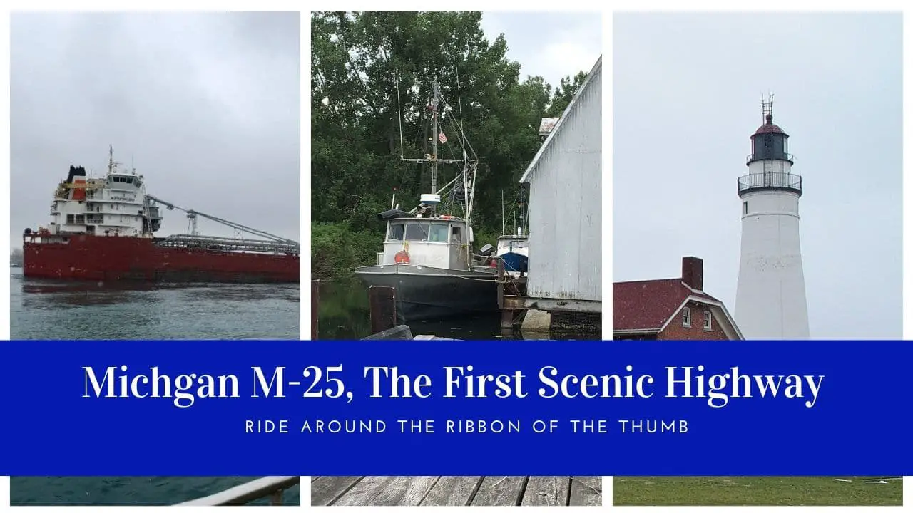
A favorite Michigan road trip for motorcyclists is the Michigan State Highway M-25. It’s a 147-mile scenic two-lane trunk line running from Port Huron to Bay City, Michigan. Bikers like the drive as it offers many places to turn off for a rest, find a biker friendly place to eat, or take a bit of shelter during a storm. With restrictions expected to continue through the summer of 2021, making a road trip is considered a safe way to travel as long as you stay socially distant from other folks.
In this post, we cover two aspects for a great road trip along M-25. The first section covers all the roadside parks and scenic turnouts that surround the Thumb. The second part reviews a list of our favorite places to stop and check out along the way. Happy motoring.
M-25 Michigan’s First Scenic Highway
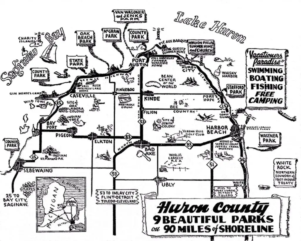
With waters of Lake Huron or Saginaw Bay on one side and rolling pasture cottages and farmland on the other, M-25 is a unique and interesting ride around the Thumb. The picturesque drive also offers some of the most unique and seldom visited places (which we will cover later), that you may not find in any Michigan tour book.
A Loop Around Michigan’s Thumb
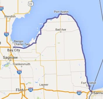
Officially Michigan M-25 is a state trunkline highway in the US state of Michigan. M-25 is part of the Lake Huron Circle Tour for its entire length. Starting at a junction with Business Loop I-69/Business Loop I-94 in Port Huron running north along the coast the highway passes through Lexington, Port Sanilac, Harbor Beach, and Port Hope. Arriving at Port Austin, the northernmost point of M-25, the road turns west and south running through Caseville, Bay Port, Bay, Unionville, and ending in Bay City.
A section of M-25 in Bay City was named what is now called a Pure Michigan Historic Byway by the Michigan Department of Transportation (MDOT). Originally called the Bay City Historic Heritage Route, you can see historical neighborhoods and large Victorian homes constructed by the lumber barons of the 1800s. With no interstate highways, road trip around Michigan would not be complete with out a visit into the Thumb Region.
M-25s Roadside Parks and Scenic Turnouts
The State of Michigan has a total of 80 listed roadside parks. They are part of MDOT’s system of 14 Welcome Centers, 77 rest areas, 42 table sites, and 22 scenic turnouts. Michigan was one of the first states in the country to offer roadside parks. Since they are so prevalent, we thought we would outline each of the roadside parks and turnouts along M-25.
The Upper Thumb has six of these roadside gems.

One aspect that is truly unique to M-25 is the number of places to stop. There are a number of interesting turn-offs provided by the Michigan Department of Transportation. (MDOT). They offer a chance to safely park, have a picnic, or just enjoy the view. Many of the parks along M25 are located right on the beach.
Lake Huron Roadside Park
Located South of Port Sanilac in Sanilac County. This stop has great views of Lake Huron, with stairs from the park to the beach. Historical Marker for “Great Lake Storm of 1913” when the sudden tragic storm took 235 lives and 10 ships sank.
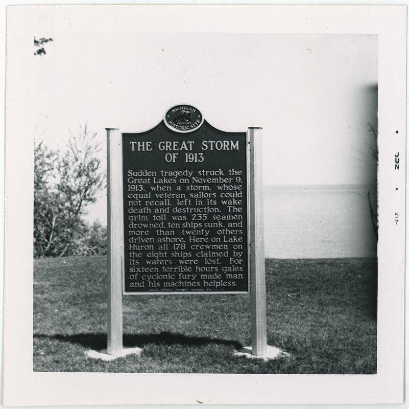
Sudden tragedy struck the Great Lakes on November 9, 1913, when a storm, whose equal veteran sailors could not recall, left in its wake death and destruction. The grim toll was 235 seamen drowned, ten ships sunk, and more than twenty others driven ashore. Here on Lake Huron all 178 crewmen on the eight ships claimed by its waters were lost. For sixteen terrible hours gales of cyclonic fury made man and his machines helpless.
The Great Storm of 1913 – Michigan Historical Marker
The park honors Horatio S. Earle. As a state senator from Detroit in 1901, he chaired a committee that developed the first plan for statewide road improvement. He was known as “Good Roads” Earle”.
Four Mile Scenic Turnout
The location is south of Forestville in Sanilac County. It offers some of the best views of Lake Huron, with stairs from the park on the bluff down to the beach.
White Rock Roadside Park
Located south of Atwater Road, Sherman Twp in Huron County. Great views of Lake Huron and White Rock. Steps to beach, observation deck, walking trails connecting to a non-motorized path on Michigan M25.
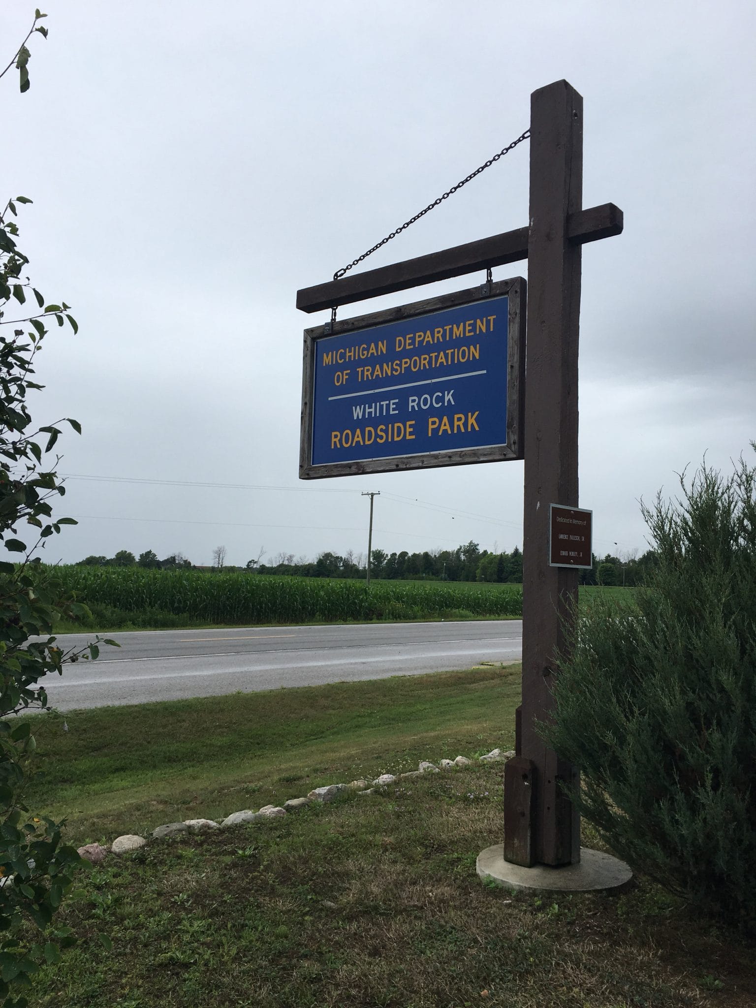
The park preserves the natural character of the site and enhances the travel experience. Components of the motorist park include a picnic area, restroom facilities, interpretive signage, stairway to the shoreline, and a carpool lot that accommodates buses. A unique element of the project is the interpretive sign and viewing opportunities for the “White Rock” that marked an 1807 treaty with local tribes.
White Rock is a large, white, offshore boulder used as a boundary marker to define the territory released by the Native American tribes of Michigan to the United States under the Treaty of Detroit in 1807.
The Saginaw Chippewa Tribe of Michigan was asked to provide input for the interpretive sign. The tribe’s participation helped assure an accurate portrayal of the history and oral tradition related to the significance of White Rock.
The park also is a stop along the historic ShoreRidge Indian Trail that started near Fort Gratiot and ends in Saginaw.
Jenks Roadside Park
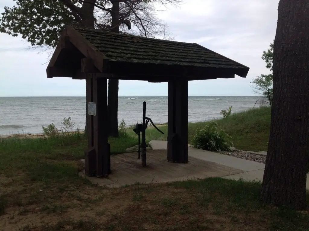
Jenks Roadside Park is located 2 miles west of Port Austin in Huron County. Features a spectacular view of Saginaw Bay, with beach access, restroom, and picnic facilities. It has a large parking area and can easily accommodate fairly large groups during off-hours. While not officially designated as a beach, the shore offers a fine sugar sand ribbon of beach that is perfectly suitable for a quick swim.
Thompson Turnout Park
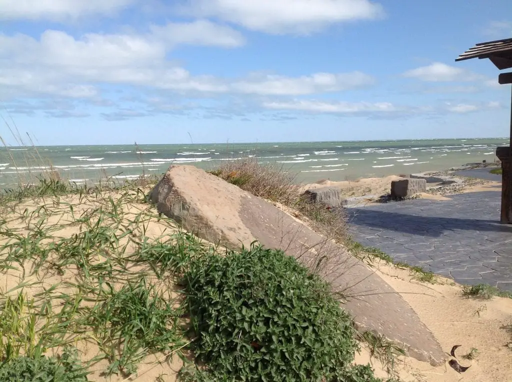
The Thompson Scenic Turnout – Located 10 miles southwest of Port Austin in Huron County. The Park features 2 large grindstones and access to a sandy beach on Saginaw Bay, picnic tables, bathroom, and benches. This is a fairly popular stop along M-25 as it sits on top of a small bluff and has a commanding view of outer Saginaw Bay. To the southwest, visitors can get their first view of the guardian of the bay, Charity Island.
Brown Roadside Park
Brown roadside park is located 3 miles south of Bay Port in Huron County. The park is shady and an ideal picnic or break spot along M-25. It is also a known spot for geocaching. The park honors Henry A. Hamp.
The small park has also been referenced as the Sanford Brown Roadside Park. However this is is unconfirmed.
The park is the location for a Michigan Historical Marker for “The Great Fire of 1881.” Which states:
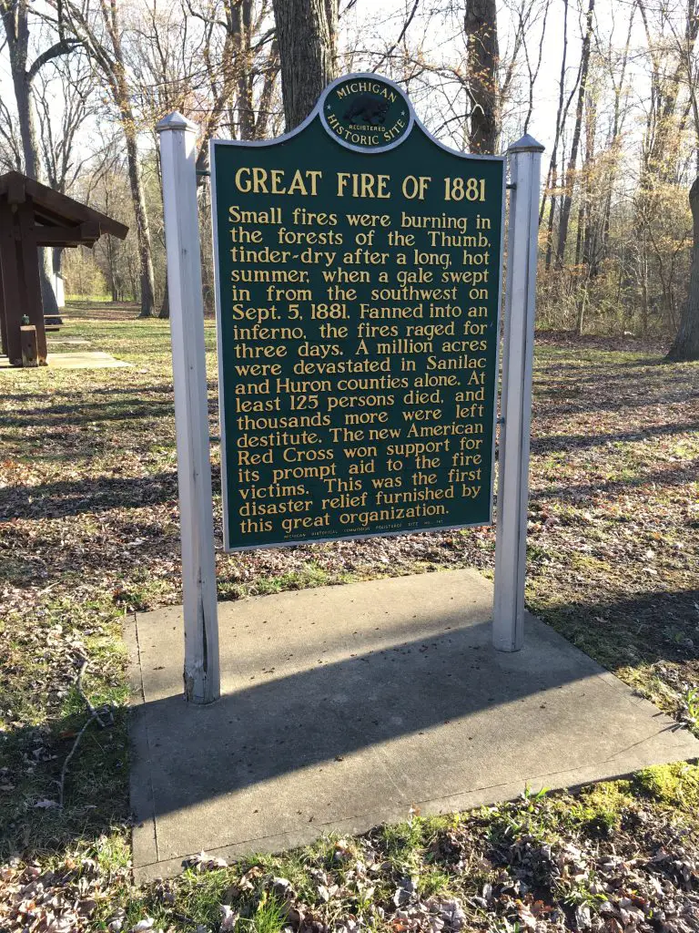
The fire of 1881: Small fires were burning in the forests of the Thumb, tinder-dry after a long, hot summer, when a gale swept in from the southwest on September 5, 1881. Fanned into an inferno, the fires raged for three days. A million acres were devastated in Sanilac and Huron Counties alone. At least 125 persons died, and thousands more were left destitute. The new American Red Cross won support for its prompt aid to the fire victims. This was the first disaster relief furnished by this great organization.
Interesting Places for a Road Trip Along M-25
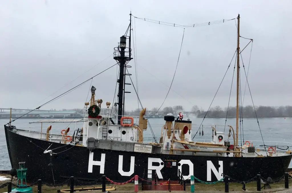
Huron Light Ship
One interesting little site, located in a county park, is the Lightship Huron. Lightships are floating lighthouses that could be anchored on the lakes where it was too deep or impossible to build a lighthouse. Lightships displayed a light at the top of a mast and, and in foggy conditions, it sounded a signal. Locals called the Huron “Old B.O.” because of the pretty unique sound the fog horn made. Today the retired lightship is only steps away from shore in Pine Grove Park in Port Huron and serves as a floating museum about an aspect of Great Lakes shipping that has been replaced with automation.
Fort Gratiot Light Station
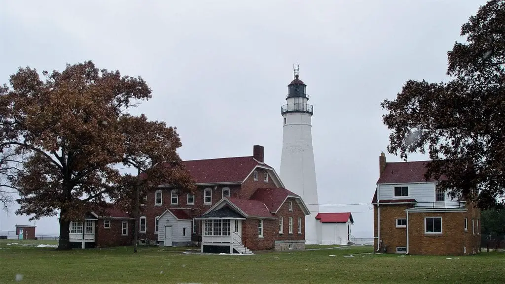
Noted as a strategic chokepoint, St. Clair River’s mouth was the gateway to the northern lakes and the rich fur and lumber trade. Shipping on the Great Lakes increased in the 1820s, and Congress recognized the need for a navigational aid at the St. Clair River’s mouth.
Lexington General Store

This store was built in the late 1800s and is a great example of what was in just about every country village and town in Michigan. Known for their large candy selection including the old-fashioned penny candy. Walk along old squeaky wood floors, and browse gifts, lake signs, candles, kitchenware, jellies, and souvenirs. Listen for the “cha-ching” from their pull handle register from every sale. This is a neat step back in time.
Croswell Swinging Bridge
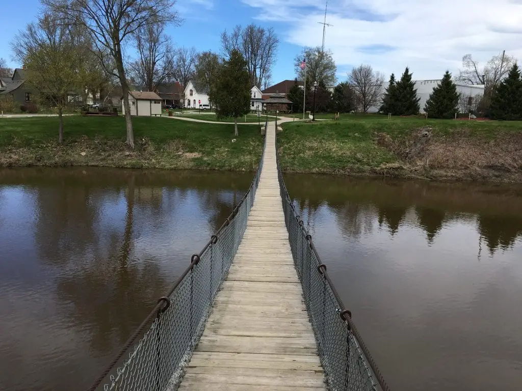
Located west of Lexington. The Croswell Swinging Bridge is a pedestrian suspension bridge claimed to be the longest (maybe only) spanning suspension footbridge in Michigan. It was built in 1905 over the Black River, with only the planks between the Michigan Sugar Company’s cables.
Sacred History of White Rock

Indigenous Peoples of Michigan, the Anishinabeg, views the White Rock on the edge of the Lake Huron shore as a sacred site. The rock was much, much larger than it appears today. (Which in 2019 is mostly underwater). Today White Rock is almost awash by the high levels of Lake Huron. The size has shrunk too. With erosion and lighting strikes the rock is about 12 feet.
6 Fascinating Things to See at Harbor Beach

As the world’s largest freshwater human-made harbor, Harbor Beach, Michigan’s port, is an ideal stopping point for sailors making their way along Lake Huron’s shore and for those making a Michigan road trip. Harbor Beach offers sailors and boaters a welcome break and an ideal provisioning point with its protected port and town that’s steps away from the Marina. If you have a few extra hours, some great little sightseeing trips are close and interesting. Some are within walking distance, while some will require an Uber ride from dockside.
Port Hope Railway Depot

The Port Hope Depot has been exquisitely restored. You can see exhibits in the passenger waiting room, the station masters office, luggage, and freight room. Each area of the depot has been painted to match the original color. The depot looks brand new. One of the most interesting items on display was a pair of glasses found trapped for over one hundred years behind window trim in the station master office. The wireframe glasses are extremely fragile yet look brand new.
The Legend of Whiskey Harbor
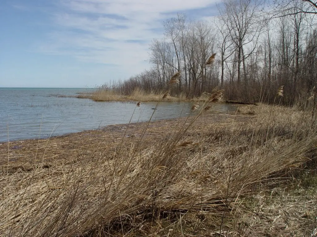
On the eastern shore of Michigan’s Thumb lies a lonely and rocky cove on the shore of Lake Huron. The remote area sits on a layer of limestone so its tough o build upon so it remains undeveloped. This idyllic and beautiful remote setting was the site for criminal activity during the time of Michigan Prohibition.
The Spooky Pointe Aux Barques Lighthouse
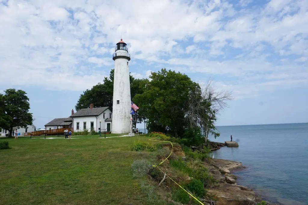
Michigan’s Upper Thumb is full of colorful history—from the boomtowns of the 1800s lumber era to today’s resorts and vacation cottages. The area has long been acknowledged as an active paranormal region and has been the subject of books, film, and television. The Pointe Aux Barques Lighthouse is one of those spooky spots with a great lake view that you should consider stopping on your Michigan road trip.
Get a Great Cheeseburger at Shelly’s in Grindstone City
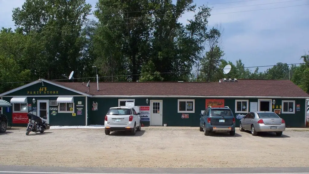
This morning, after hitting the Farmers Market in Port Austin and White Church Gallery in Grindstone City, we stopped by Shelley’s Bar. What a cool stop. Okay… I admit that the outside needs a bit more curb appeal. But stepping into this roadside tavern, you can tell that the locals love this place. It’s biker friendly as Shelly’s has sponsored many Michigan motorcycle road trips, poker runs, and charity events.
15 Things to Do and See in Port Austin
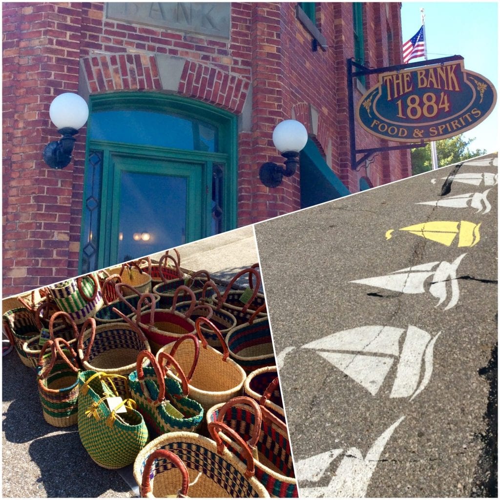
Port Austin Michigan has established itself with becoming the Art and Cultural Center of the region with its galleries, Studio Tour Weekend, Labor Day’s Art in the Park, and yearly Porch Concerts. But there is much more to see and do at the end of the road and tip of the Thumb.
The Emergency Arc Oak Beach
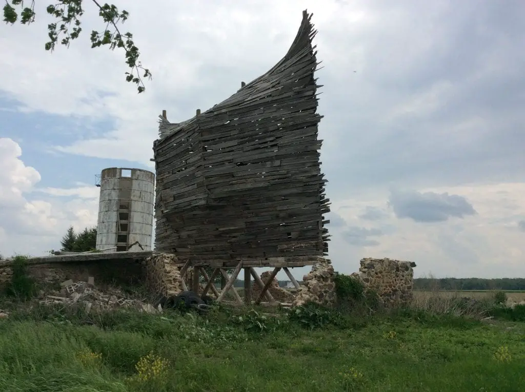
This is a great Michigan road trip find. The “Arc” has several titles The Barnboat, The Celestial Ship of the North, and the Emergency Ark. The Emergency Ark was completed by sculpturing artist Scott Hocking in 2015. He has transformed a 1800s barn into a large object denoting sanctuary and safety. The Ark can be found about a mile south of Oak Beach on Oak Beach road and Fehner.
Things to Do Around Caseville Beach
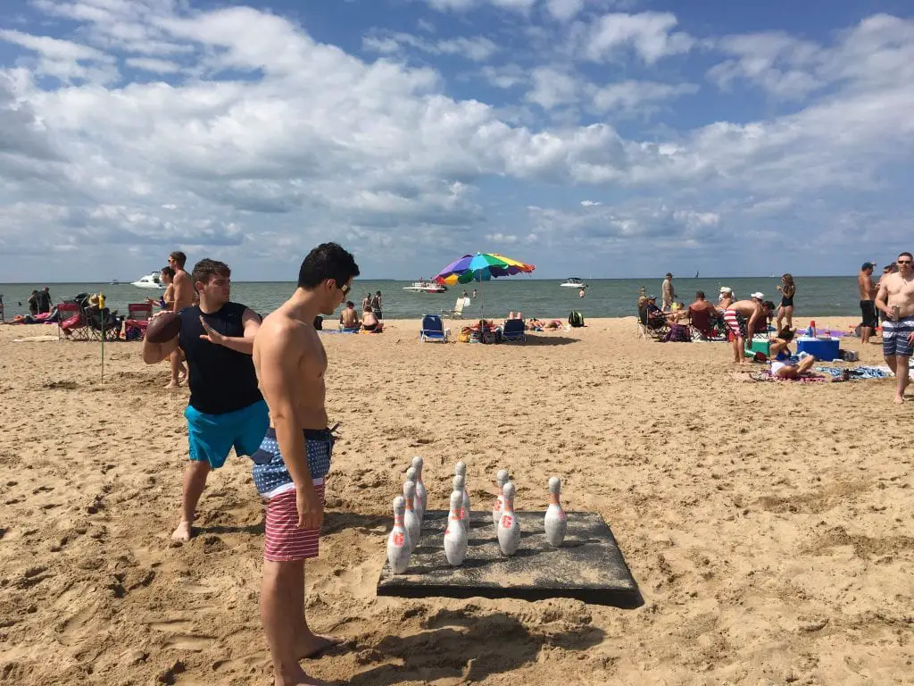
Caseville County Park sits on 40 acres. It hosts a large full-service campground with large portions of it covered with a tree canopy. Many campers bring their boat along as launch ramps are available at the nearby marina, fishing off the Caseville Pier. It’s great for a swim on your Michigan road trip of the Thumb. The park also features pavilion rentals and offers a few prime beachfront sites. The park also has an open-air theater that provides live entertainment during the Ribstock BBQ competition in June and the Caseville Cheeseburger festival in August.
Bay Port Fish Company

Bay Port Fish Company has been a commercial fishery in Lake Huron and Saginaw Bay since 1895. In 1949 Engelhard starting selling fish sandwiches in front of his house to pay his daughter’s college tuition, his sales grew and grew until in 1978 it became The Fish Sandwich Festival. The festival still offers the original freshwater mullet sandwich made from fish caught locally by the Bay Port Fish Company.
This should be on your road trip itinerary. It’s a great spot to click a few pictures, visit a working fishery and pick up some smoked whitefish for a road lunch or to snack on later.
Sebewaing Shops
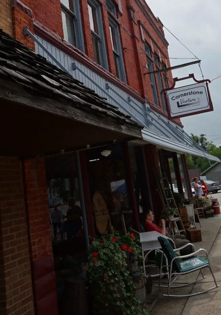
As you road trip through Michigan this stop is one of the oldest settlements in the Thumb. First established as a mission among the Native Americans who lived in the area for generations. Headquarters of Michigan Sugar, you will be able to see large mounds of locally grown sugar beets that are being prepared for processing right along the edge of Michigan M-25.
Quanicassee and the Story of the Beer Drinking Bear

It was during this time of early Michigan road trips that roadside attractions became popular. Small museums, oddity displays, and amusement parks popped up next to gas stations and restaurants. Vanderbilt started collecting wild animals for a roadside zoo on Michigan M-25. One of his early acquisitions was a female black bear. A statue of this bear is located near Quanicassee.
Final Thoughts About A Michigan Road Trip
A drive around Michigan’s Thumb should be on every list as a ultimate Michigan road trip. While less touristy then a west Michigan road trip, it ranks high in satisfaction and low cost.
Related M-25 Highway Reading
- Michigan M-25 is States First Scenic Highway in 1940
- 12 Quirky Roadside Attractions to See in Michigan’s Thumb
- Michigan Roadside Parks – Jenks
- 22 Astonishing Michigan’s Scenic Byways for your Next Adventure
- Cabin Roadside Art – A Unique Welcome

